- Today
- Holidays
- Birthdays
- Reminders
- Cities
- Atlanta
- Austin
- Baltimore
- Berwyn
- Beverly Hills
- Birmingham
- Boston
- Brooklyn
- Buffalo
- Charlotte
- Chicago
- Cincinnati
- Cleveland
- Columbus
- Dallas
- Denver
- Detroit
- Fort Worth
- Houston
- Indianapolis
- Knoxville
- Las Vegas
- Los Angeles
- Louisville
- Madison
- Memphis
- Miami
- Milwaukee
- Minneapolis
- Nashville
- New Orleans
- New York
- Omaha
- Orlando
- Philadelphia
- Phoenix
- Pittsburgh
- Portland
- Raleigh
- Richmond
- Rutherford
- Sacramento
- Salt Lake City
- San Antonio
- San Diego
- San Francisco
- San Jose
- Seattle
- Tampa
- Tucson
- Washington
Arapahoe Today
By the People, for the People
Colorado Ski Resorts Brace for Modest Snowfall Amid Closures
Scattered showers and gusty winds expected this weekend, with a better chance of accumulation early next week.
Apr. 10, 2026 at 4:21pm
Got story updates? Submit your updates here. ›
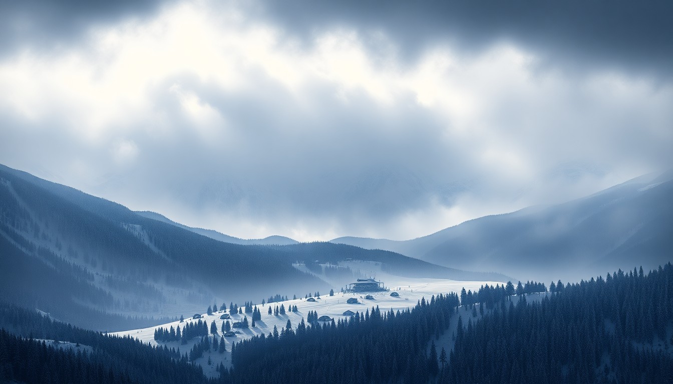 As Colorado's ski season winds down, a late-season storm system brings a modest but welcome snow refresh to the few remaining open resorts.Arapahoe Today
Colorado's ski resorts are facing a mixed bag of weather conditions this spring, with a weak storm system bringing only spotty mountain showers and warm snow levels on Saturday, April 11. However, a more promising system is expected to move in late Monday, April 13, through Tuesday, April 14, potentially delivering a moderate-density snow refresh to some of the open resorts, particularly Arapahoe Basin and Loveland. The forecast remains uncertain beyond Tuesday, with the potential for additional light snowfall later in the week, though many of the state's major ski areas remain closed for the season.
Why it matters
Colorado's ski industry is a crucial part of the state's economy, and the timing and intensity of spring snowfall can have a significant impact on the final weeks of the season. While this weekend's weather is not expected to provide a major powder day, the potential for a useful refresh early next week could help extend skiing and snowboarding opportunities at the few resorts that remain open.
The details
The first wave of precipitation on Saturday, April 11, is expected to bring only scattered showers and warm snow levels, resulting in a nuisance coating at best for most areas. However, a more promising system is forecast to move in late Monday, April 13, through Tuesday, April 14, potentially delivering 4-7 inches of moderate-density snow to Arapahoe Basin, 3-6 inches to Loveland, and 2-4 inches to Copper Mountain and Winter Park. The snow levels are expected to drop to a more favorable 6,000-9,000 feet during this time, helping to keep conditions chalky on the upper mountain slopes.
- On Saturday, April 11, scattered afternoon and evening showers are expected, with high snow levels around 9,500 to 11,500 feet.
- From late Monday, April 13, through Tuesday, April 14, a more substantial system is forecast to bring moderate-density snow to the open Colorado ski areas.
The players
Arapahoe Basin
A ski resort in Colorado that is expected to receive the best snowfall from the Tuesday storm, with 4-7 inches of moderate-density snow.
Loveland
A ski resort in Colorado that is expected to receive 3-6 inches of moderate-density snow from the Tuesday storm, making it a backup option for powder chasers.
What’s next
After Tuesday's system, Colorado's weather is expected to turn quieter for a short stretch before another western trough tries to brush the state later in the week. The forecast remains uncertain beyond Tuesday, with the potential for additional light snowfall from late Friday into the weekend, though the timing and intensity of any such system is still unclear.
The takeaway
While this weekend's weather is not expected to provide a major powder day, the potential for a useful snow refresh early next week could help extend skiing and snowboarding opportunities at the few Colorado ski resorts that remain open, providing a much-needed boost to the state's vital winter tourism industry.