- Today
- Holidays
- Birthdays
- Reminders
- Cities
- Atlanta
- Austin
- Baltimore
- Berwyn
- Beverly Hills
- Birmingham
- Boston
- Brooklyn
- Buffalo
- Charlotte
- Chicago
- Cincinnati
- Cleveland
- Columbus
- Dallas
- Denver
- Detroit
- Fort Worth
- Houston
- Indianapolis
- Knoxville
- Las Vegas
- Los Angeles
- Louisville
- Madison
- Memphis
- Miami
- Milwaukee
- Minneapolis
- Nashville
- New Orleans
- New York
- Omaha
- Orlando
- Philadelphia
- Phoenix
- Pittsburgh
- Portland
- Raleigh
- Richmond
- Rutherford
- Sacramento
- Salt Lake City
- San Antonio
- San Diego
- San Francisco
- San Jose
- Seattle
- Tampa
- Tucson
- Washington
Wilkes-Barre Today
By the People, for the People
Early Computer Maps by Butler Twp. Man Headed to Library of Congress
Tony Kadysewski's pioneering GIS maps from the 1970s will be preserved in the national archives.
Apr. 3, 2026 at 8:08pm
Got story updates? Submit your updates here. ›
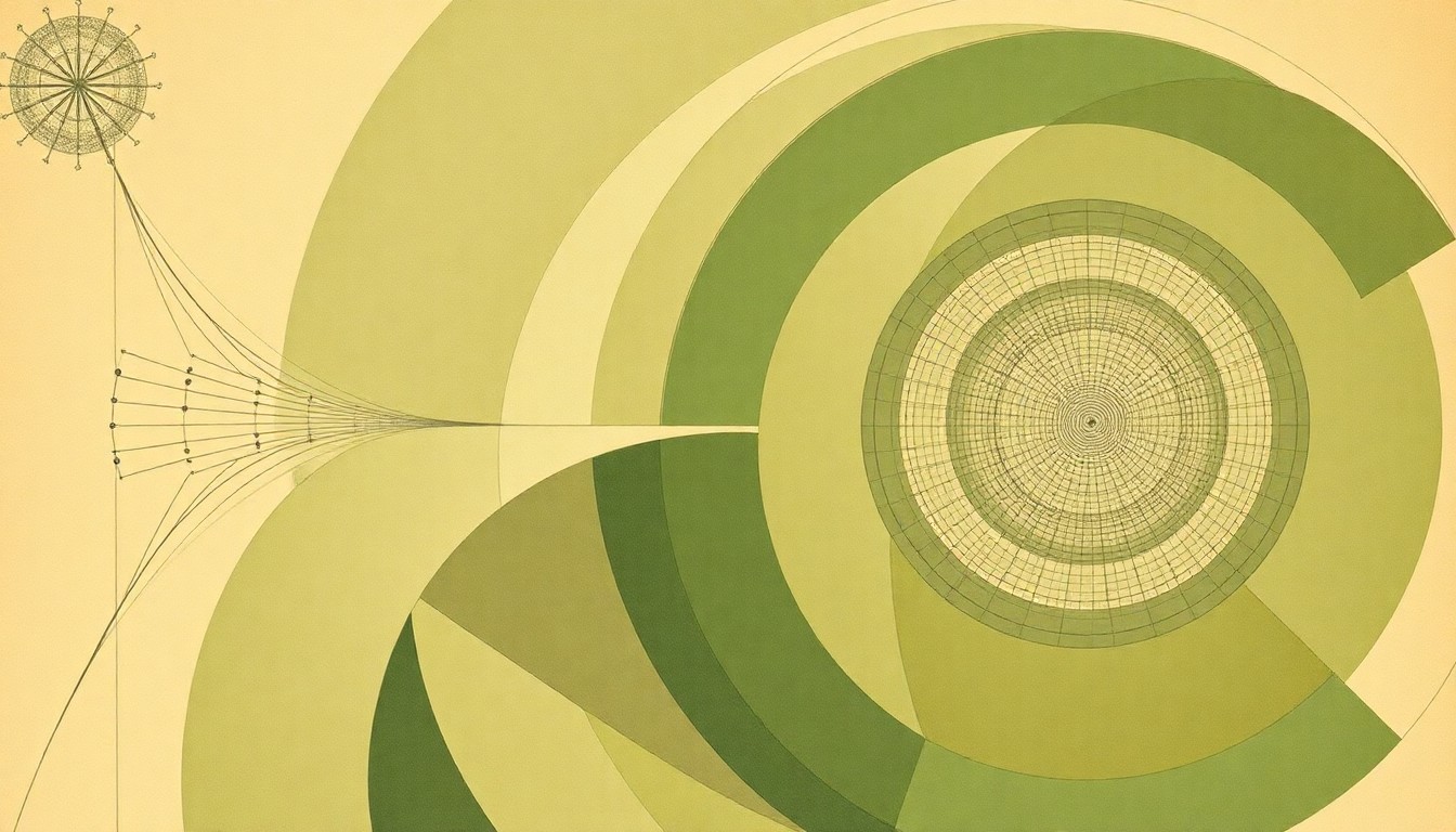 Kadysewski's early computer maps, now preserved in the Library of Congress, represent a landmark in the evolution of digital cartography and spatial data visualization.Wilkes-Barre Today
Tony Kadysewski, a resident of Butler Township, Pennsylvania, created pioneering computer-generated maps in the 1970s while working at Penn State University. These maps, which used early GIS technology to visualize data like population density and crime patterns for Harrisburg and other areas, have now been accepted into the collection of the Library of Congress, where they will be preserved as an important historical record of the development of digital cartography.
Why it matters
Kadysewski's maps represent a significant milestone in the evolution of geographic information systems (GIS) and computer-aided mapping. As one of the earliest examples of this emerging technology being used for practical applications like urban planning and public safety, the maps provide a valuable window into the origins of modern data visualization and spatial analysis tools.
The details
In the 1970s, Kadysewski and his team at Penn State used an IBM 360 mainframe computer to generate maps of Harrisburg and other areas, plotting data points by measuring distances on tracing paper and punching the coordinates onto stacks of computer cards. The computer would then print the maps using a combination of characters like 'O', '/', and 'X' to create shades of gray. These large-scale maps were then photographed and reduced to a more manageable size. Kadysewski's team used this early GIS technology to create maps visualizing data like crime patterns and park usage for government agencies.
- Kadysewski created the maps around 50 years ago, in the mid-1970s.
- The maps will now be preserved in the Library of Congress collection.
The players
Tony Kadysewski
A resident of Butler Township, Pennsylvania, who created pioneering computer-generated maps in the 1970s while working at Penn State University. Kadysewski has had a varied career, including work in advertising, computer networking, and marketing.
Library of Congress
The national library of the United States, which has accepted Kadysewski's early computer maps into its collection to preserve them as an important historical record of the development of digital cartography.
Marquis Art and Frame
A framing company in Wilkes-Barre, Pennsylvania, that has framed Kadysewski's maps and will pack them for shipment to the Library of Congress.
What they’re saying
“I was most pleased the Library of Congress actually wanted them.”
— Tony Kadysewski
What’s next
The maps will be carefully packed and shipped to the Library of Congress in Washington, D.C., where they will be added to the national archives and made available for research and public viewing.
The takeaway
Kadysewski's early computer maps represent a significant milestone in the history of GIS and data visualization, showcasing how this emerging technology was used in the 1970s to tackle practical challenges in urban planning, public safety, and resource management. As these maps are preserved in the Library of Congress, they will continue to inform and inspire future generations of mapmakers and data scientists.