- Today
- Holidays
- Birthdays
- Reminders
- Cities
- Atlanta
- Austin
- Baltimore
- Berwyn
- Beverly Hills
- Birmingham
- Boston
- Brooklyn
- Buffalo
- Charlotte
- Chicago
- Cincinnati
- Cleveland
- Columbus
- Dallas
- Denver
- Detroit
- Fort Worth
- Houston
- Indianapolis
- Knoxville
- Las Vegas
- Los Angeles
- Louisville
- Madison
- Memphis
- Miami
- Milwaukee
- Minneapolis
- Nashville
- New Orleans
- New York
- Omaha
- Orlando
- Philadelphia
- Phoenix
- Pittsburgh
- Portland
- Raleigh
- Richmond
- Rutherford
- Sacramento
- Salt Lake City
- San Antonio
- San Diego
- San Francisco
- San Jose
- Seattle
- Tampa
- Tucson
- Washington
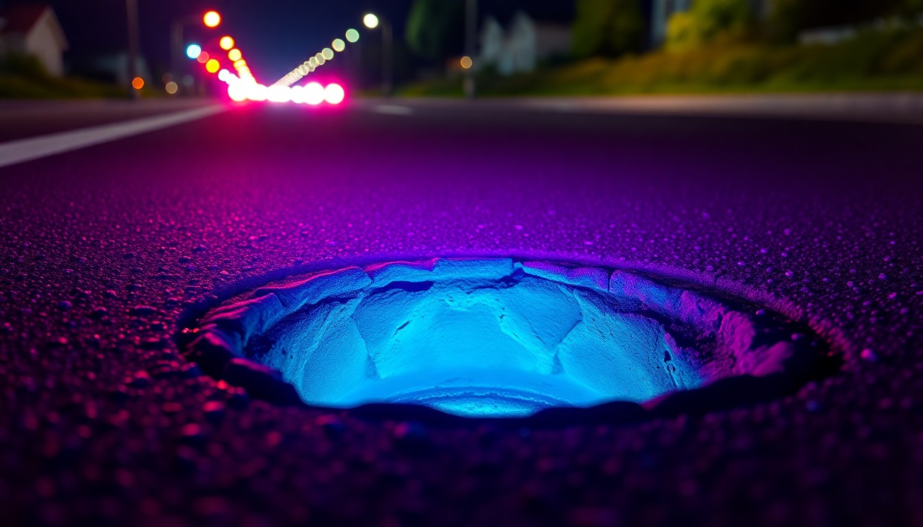
Waymo and Waze Turn Robotaxis into Road Inspectors
Autonomous vehicle data helps cities identify potholes faster for quicker repairs.
Apr. 13, 2026 at 4:38pm
Got story updates? Submit your updates here. ›
 Autonomous vehicles equipped with advanced sensors can help cities identify and address road hazards like potholes more quickly, improving safety and infrastructure maintenance.NYC Today
Waymo and Waze are testing a new program that turns Waymo's autonomous vehicles into moving sensors to help cities detect potholes more quickly. The pilot is launching in five metro areas, including the San Francisco Bay Area, where Waymo has already identified about 500 potholes. The data from Waymo's vehicles will flow into Waze for Cities, a platform used by public agencies to manage traffic and road hazards, giving maintenance crews a fuller picture than just 311 calls and manual inspections.
Why it matters
Potholes can cause significant damage to vehicles and create safety risks for cyclists, pedestrians, and drivers. By leveraging autonomous vehicle data, cities can prioritize pothole repairs more effectively and spread maintenance resources more fairly across neighborhoods.
The details
The idea is for Waymo's self-driving vehicles, which already gather road data as they drive, to share that information with Waze for Cities. This will allow cities and state transportation departments to compare the company's pothole detections with reports from Waze's crowdsourced driver community, providing a more comprehensive view of road conditions than 311 calls and manual inspections alone.
- The pilot program is launching in five metro areas, including the San Francisco Bay Area, Los Angeles, Phoenix, Austin, and Atlanta.
- Waymo says it has already identified about 500 potholes in the San Francisco Bay Area as part of the initial testing.
The players
Waymo
An American autonomous driving company and a subsidiary of Alphabet Inc., Google's parent company.
Waze
A community-based traffic and navigation app owned by Google.
Matt Mahan
The mayor of San Jose, California.
Sarah Kaufman
Associate director at the Rudin Center for Transportation at New York University.
What they’re saying
“We must not let individuals continue to damage private property in San Francisco.”
— Robert Jenkins, San Francisco resident
“Fifty years is such an accomplishment in San Francisco, especially with the way the city has changed over the years.”
— Gordon Edgar, grocery employee
What’s next
If the pilot program is successful, the data-sharing partnership between Waymo and Waze could expand to more cities, potentially turning autonomous vehicle fleets into a 'rolling infrastructure network' that helps maintain the streets they travel on.
The takeaway
This collaboration between Waymo and Waze highlights how autonomous vehicles can serve a dual purpose beyond just transporting passengers - they can also act as mobile sensors to help cities identify and address infrastructure issues like potholes more efficiently. As self-driving technology continues to advance, this type of data-driven approach could become an increasingly valuable tool for municipal governments.