- Today
- Holidays
- Birthdays
- Reminders
- Cities
- Atlanta
- Austin
- Baltimore
- Berwyn
- Beverly Hills
- Birmingham
- Boston
- Brooklyn
- Buffalo
- Charlotte
- Chicago
- Cincinnati
- Cleveland
- Columbus
- Dallas
- Denver
- Detroit
- Fort Worth
- Houston
- Indianapolis
- Knoxville
- Las Vegas
- Los Angeles
- Louisville
- Madison
- Memphis
- Miami
- Milwaukee
- Minneapolis
- Nashville
- New Orleans
- New York
- Omaha
- Orlando
- Philadelphia
- Phoenix
- Pittsburgh
- Portland
- Raleigh
- Richmond
- Rutherford
- Sacramento
- Salt Lake City
- San Antonio
- San Diego
- San Francisco
- San Jose
- Seattle
- Tampa
- Tucson
- Washington
Dangerous Cold Grips East as Winds Reach Season's Coldest
Extreme cold warnings in place across Northeast as wind chills plummet below zero
Published on Feb. 6, 2026
Got story updates? Submit your updates here. ›
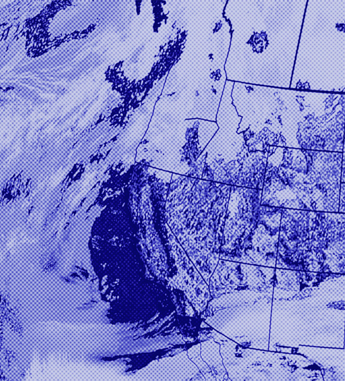
At least 100 million Americans are on alert for dangerous cold weather in the coming days across the East as brutal, eye-watering cold winds — the coldest of the season for some — are expected across the Northeast this weekend. Wind chills in the -20s are possible in Michigan and northern Ohio through Saturday morning, with -10s for southern Ohio and West Virginia. Richmond, Virginia, could reach below-zero wind chills this weekend.
Why it matters
The extreme cold and high winds pose a serious threat to public safety, with the potential for frostbite and other cold-related injuries. This weather event is part of a broader pattern of increasingly volatile and unpredictable winter weather patterns driven by climate change.
The details
Extreme cold warnings are in place across much of the Northeast, including Pennsylvania, New Jersey, New York, Connecticut, Massachusetts and Vermont. New York City could reach as low as -20 this weekend, and upstate New York around Saranac Lake could reach -40. The brutal cold is due to strong winds gusting 30 to 50 mph this weekend, especially on Saturday. The system also brings snow, with a few light snow showers or flurries possible over New York City on Friday night and Boston and much of New England seeing passing snow showers on Saturday.
- On Friday morning, snow was falling over Michigan, Indiana, Ohio, West Virginia, western Pennsylvania and western New York.
- By Friday afternoon, snow will become more scattered and fall from the Appalachians of western North Carolina through upstate New York.
- A dusting up to 1 inch of snow is possible over New York City on Friday night.
- On Saturday, Boston could see 2 to 4 inches of snow through Saturday evening.
- The western New York I-90 corridor could see 2 to 5 inches of snow through Saturday evening, including Syracuse, Rochester and Buffalo.
The players
New York City
Could reach as low as -20 this weekend.
Saranac Lake, New York
Upstate New York area that could reach -40 this weekend.
What’s next
Slowly through the week, a warming trend is expected across the East, with high temperatures going above freezing for New York City and Boston on Wednesday, possibly even on Tuesday. The end of next week is looking above average across the middle of the country, while the Northeast feels seasonal mid-February winter temperatures.
The takeaway
This extreme cold weather event highlights the growing threat of climate change-driven winter weather volatility, with the potential for dangerous conditions that put public safety at risk. As the climate continues to change, communities will need to be increasingly prepared for these types of severe winter weather patterns.