- Today
- Holidays
- Birthdays
- Reminders
- Cities
- Atlanta
- Austin
- Baltimore
- Berwyn
- Beverly Hills
- Birmingham
- Boston
- Brooklyn
- Buffalo
- Charlotte
- Chicago
- Cincinnati
- Cleveland
- Columbus
- Dallas
- Denver
- Detroit
- Fort Worth
- Houston
- Indianapolis
- Knoxville
- Las Vegas
- Los Angeles
- Louisville
- Madison
- Memphis
- Miami
- Milwaukee
- Minneapolis
- Nashville
- New Orleans
- New York
- Omaha
- Orlando
- Philadelphia
- Phoenix
- Pittsburgh
- Portland
- Raleigh
- Richmond
- Rutherford
- Sacramento
- Salt Lake City
- San Antonio
- San Diego
- San Francisco
- San Jose
- Seattle
- Tampa
- Tucson
- Washington
Extreme Weather Divides the US as East Freezes and West Sets Heat Records
The nation is experiencing a stark contrast in temperatures, with the East mired in frigid conditions while the West sees record warmth.
Published on Feb. 6, 2026
Got story updates? Submit your updates here. ›
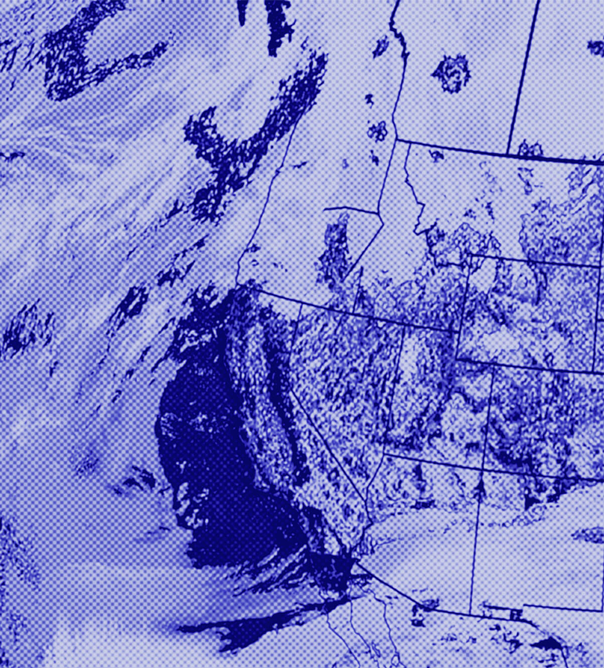
The United States is currently experiencing a dramatic divide in weather patterns, with the eastern half of the country enduring frigid temperatures, snow, and ice, while the western half is seeing record-breaking warmth and minimal snowfall. This stark contrast is being driven by distortions in the jet stream, which have allowed a persistent ridge of high pressure to dominate the West while a deep trough of low pressure has settled over the East, funneling in waves of Arctic air.
Why it matters
The prolonged nature of this weather pattern, with the East and West effectively split into two distinct climate zones, is highly unusual and noteworthy. It highlights the increasing volatility and unpredictability of weather patterns in a rapidly warming world, where extreme events and sharp contrasts are becoming more common. The situation also raises questions about the long-term impacts of such dramatic temperature swings on regional ecosystems, agriculture, infrastructure, and human health and comfort.
The details
In the West, cities like Great Falls, Montana, have seen five straight days with highs exceeding 60°F this week, a February record. Los Angeles also set a new daily high of 88°F on Wednesday, beating typical July and August temperatures. Conversely, the East has been gripped by an extended period of subfreezing temperatures, with Washington, D.C. experiencing its sixth-longest stretch of consecutive hours below freezing from January 24 to February 2. Many other Eastern cities have also seen their top 20 longest such streaks on record.
- The East-West weather divide has lasted for several weeks.
- On February 6, 2026, the temperature in Juneau, Alaska was warmer than central Florida.
- During the peak of the Arctic blast in late January and early February, cold records outpaced warm records by more than two-to-one in the Lower 48 states.
- However, for 2026 so far, warm records have been around 1.5 times more numerous than cold records.
The players
NOAA's Climate Prediction Center
A federal agency that provides climate and weather forecasting services.
Laura Ciasto
An atmospheric scientist with NOAA's Climate Prediction Center.
Brandon Miller
A CNN meteorologist who contributed reporting to this story.
What they’re saying
“When the AO is negative, the jet stream is more wavy with lobes dipping down over the US and bringing colder Arctic air with it.”
— Laura Ciasto, Atmospheric Scientist, NOAA's Climate Prediction Center (CNN)
“The AO has been negative for over a month now, which is impressive because it usually doesn't stay in one phase for that length of time. So something else could be influencing it to stay in the negative phase.”
— Laura Ciasto, Atmospheric Scientist, NOAA's Climate Prediction Center (CNN)
What’s next
Forecasters predict that the pattern will finally begin to shift in the coming days, with the western ridge breaking down and allowing milder air to move eastward. However, before that happens, the Northeast and Mid-Atlantic states are expected to experience the coldest air of the winter so far this weekend into early next week, with the potential for around 50 cold temperature records to be set.
The takeaway
This extreme weather divide highlights the increasing volatility and unpredictability of climate patterns in a warming world, where sharp contrasts and record-breaking events are becoming more common. The situation underscores the need for continued research and preparedness to address the impacts of such dramatic temperature swings on regional ecosystems, infrastructure, and human well-being.

