- Today
- Holidays
- Birthdays
- Reminders
- Cities
- Atlanta
- Austin
- Baltimore
- Berwyn
- Beverly Hills
- Birmingham
- Boston
- Brooklyn
- Buffalo
- Charlotte
- Chicago
- Cincinnati
- Cleveland
- Columbus
- Dallas
- Denver
- Detroit
- Fort Worth
- Houston
- Indianapolis
- Knoxville
- Las Vegas
- Los Angeles
- Louisville
- Madison
- Memphis
- Miami
- Milwaukee
- Minneapolis
- Nashville
- New Orleans
- New York
- Omaha
- Orlando
- Philadelphia
- Phoenix
- Pittsburgh
- Portland
- Raleigh
- Richmond
- Rutherford
- Sacramento
- Salt Lake City
- San Antonio
- San Diego
- San Francisco
- San Jose
- Seattle
- Tampa
- Tucson
- Washington
Severe Threat Winding Down, Cooler Weather Ahead
Elevated fire danger and frost risks expected this weekend in north-central Kansas
Apr. 17, 2026 at 11:25pm
Got story updates? Submit your updates here. ›
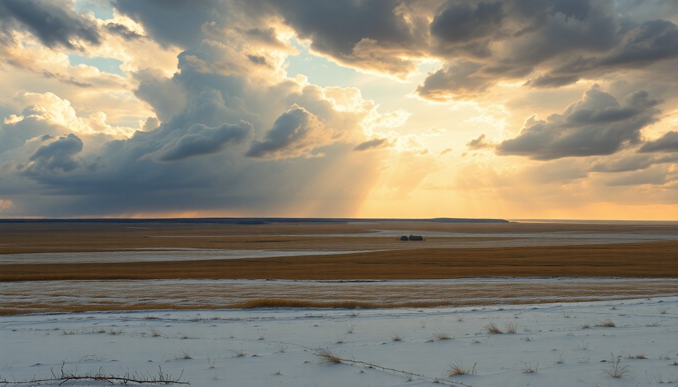 As a powerful cold front sweeps across the Kansas plains, the looming threat of frost and fire danger casts an ominous shadow over the rural landscape.Topeka Today
The severe weather threat is ending in Kansas, but the forecast calls for elevated fire danger and potential frost/freeze conditions in north-central parts of the state this weekend as temperatures drop and winds pick up.
Why it matters
Severe weather can pose significant risks to public safety, property, and infrastructure. While the immediate threat is passing, the lingering effects of cooler temperatures and dry conditions require vigilance to prevent wildfires and protect sensitive plants and livestock.
The details
The weather pattern is shifting, bringing much cooler air and lower humidity levels to Kansas. North-central parts of the state, especially near the Nebraska border, could see temperatures dip close to freezing on Saturday and Sunday mornings, raising the risk of frost and freeze conditions. Additionally, the dry, windy weather will elevate the fire danger, prompting warnings to avoid outdoor burning and secure anything that could spark a blaze.
- Tonight, clouds will clear out and temperatures will drop into the 30s, with the coldest readings near the Kansas-Nebraska line.
- On Saturday, highs will only reach the low 60s under mostly sunny skies, with a small chance of a shower.
- Saturday night could bring more frost/freeze concerns as temperatures dip again.
- Sunday will see a rebound into the 70s, with warming continuing into early next week.
- The next chance for more widespread rain and storms may arrive on Wednesday and Thursday.
The players
WIBW
A television station serving the Topeka, Kansas area that provided the weather forecast information.
What’s next
The National Weather Service will continue to monitor the situation and issue any necessary watches, warnings, or advisories for the affected areas.
The takeaway
While the immediate severe weather threat has passed, the cooler temperatures and dry conditions this weekend require residents in north-central Kansas to be vigilant about fire safety and protecting sensitive plants and livestock from potential frost and freeze conditions.