- Today
- Holidays
- Birthdays
- Reminders
- Cities
- Atlanta
- Austin
- Baltimore
- Berwyn
- Beverly Hills
- Birmingham
- Boston
- Brooklyn
- Buffalo
- Charlotte
- Chicago
- Cincinnati
- Cleveland
- Columbus
- Dallas
- Denver
- Detroit
- Fort Worth
- Houston
- Indianapolis
- Knoxville
- Las Vegas
- Los Angeles
- Louisville
- Madison
- Memphis
- Miami
- Milwaukee
- Minneapolis
- Nashville
- New Orleans
- New York
- Omaha
- Orlando
- Philadelphia
- Phoenix
- Pittsburgh
- Portland
- Raleigh
- Richmond
- Rutherford
- Sacramento
- Salt Lake City
- San Antonio
- San Diego
- San Francisco
- San Jose
- Seattle
- Tampa
- Tucson
- Washington
Satellite Imagery Transparency Challenges Military Operations in Iran War
Commercial satellite companies limit public access to imagery of conflict zone at US government's request
Apr. 13, 2026 at 5:51pm
Got story updates? Submit your updates here. ›
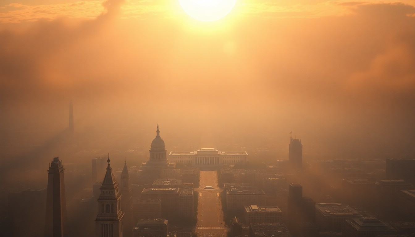
 The growing ubiquity of commercial satellite imagery is transforming the modern battlefield, presenting both strategic opportunities and operational challenges for military forces.Washington Today
The ubiquity of commercial satellite imagery is changing how the US military conducts battlefield operations, according to the US Space Force chief. While commercial satellite imagery was embraced to aid Ukraine's defense against Russia, the US government has quietly urged firms to limit public access to imagery of the ongoing conflict between the US, Israel, and Iran. This dichotomy highlights the double-edged nature of the global spread of commercial remote sensing capabilities for governments and military planners.
Why it matters
The widespread availability of commercial satellite imagery can be used to deter adversary action and aid allied forces, but governments have little control over what private companies choose to sell or make public. This poses new challenges for military operations and information warfare that need to be addressed through wargaming and adaptation.
The details
Military leaders recognize that the transparency enabled by commercial satellite imagery is 'just the way it is' in the modern security environment, requiring new approaches. While the US government lauded commercial firms as partners in the Ukraine conflict, it has quietly urged them to constrain public access to imagery of the Iran war zone and surrounding region. Major US and allied commercial satellite companies like Planet and Vantor have implemented policies to delay or limit the release of such imagery, citing the need to prevent misuse by adversaries. However, foreign firms like China's MizarVision continue to publish detailed imagery of the US military buildup and operations.
- In April 2022, a National Geospatial-Intelligence Agency official warned that a Middle East contingency could 'get very messy' as commercial firms wrestle with obligations to customers and desires of the US military.
- On March 9, 2026, Planet announced it would institute a 14-day delay on releasing imagery of Iran, nearby military bases, the Gulf States, and 'existing conflict zones'.
- On January 30, 2026, the Chinese newspaper Global Times published detailed satellite imagery of the US military buildup in the Middle East prior to the start of Operation Epic Fury.
The players
Gen. Chance Saltzman
Chief of the US Space Force, who discussed the challenges posed by commercial satellite imagery transparency to military operations.
Planet
A major US commercial satellite imagery company that announced it would delay the release of imagery related to the Iran conflict zone.
Vantor
A US commercial satellite imagery company that has implemented enhanced access controls over sensitive geospatial intelligence during times of geopolitical conflict.
MizarVision
A Chinese commercial geospatial intelligence firm that continues to publish detailed satellite imagery of the US military buildup and operations in the Middle East.
David Gauthier
The former head director of commercial operations at the National Geospatial-Intelligence Agency, who warned in 2022 that a Middle East contingency could 'get very messy' for commercial satellite firms.
What they’re saying
“How are commercial companies affecting the battle space? Maybe that wasn't something you asked 60 years ago. You certainly have to ask it now. You know, the transparency that exists in the world, whether through cyber, digital means or commercial imagery, we just have to recognize and adapt to the changing battle space.”
— Gen. Chance Saltzman, Chief of the US Space Force
“It could be very messy.”
— David Gauthier, Former head director of commercial operations at the National Geospatial-Intelligence Agency
What’s next
The US government and military will need to continue working closely with commercial satellite companies to balance operational security needs with transparency, as the changing security environment requires new approaches to wargaming and adapting to the ubiquity of commercial satellite imagery.
The takeaway
The widespread availability of commercial satellite imagery is a double-edged sword, enabling strategic information warfare and aid for allies, but also posing new challenges for military operations that governments must proactively address through collaboration with the private sector and updated wargaming and planning.
Washington top stories


Washington events

Apr. 14, 2026
Maisie Peters: Before The Bloom
Apr. 14, 2026
Whiskey & History: Lincoln Assassination
Apr. 14, 2026
Paul Anka