- Today
- Holidays
- Birthdays
- Reminders
- Cities
- Atlanta
- Austin
- Baltimore
- Berwyn
- Beverly Hills
- Birmingham
- Boston
- Brooklyn
- Buffalo
- Charlotte
- Chicago
- Cincinnati
- Cleveland
- Columbus
- Dallas
- Denver
- Detroit
- Fort Worth
- Houston
- Indianapolis
- Knoxville
- Las Vegas
- Los Angeles
- Louisville
- Madison
- Memphis
- Miami
- Milwaukee
- Minneapolis
- Nashville
- New Orleans
- New York
- Omaha
- Orlando
- Philadelphia
- Phoenix
- Pittsburgh
- Portland
- Raleigh
- Richmond
- Rutherford
- Sacramento
- Salt Lake City
- San Antonio
- San Diego
- San Francisco
- San Jose
- Seattle
- Tampa
- Tucson
- Washington
Mount Shasta Today
By the People, for the People
Scientists Scale California's Largest Active Volcano, Mount Shasta
USGS researchers and U.S. Forestry Service rangers collaborate to gather critical data from the 14,000-foot peak every two years.
Apr. 12, 2026 at 6:52pm
Got story updates? Submit your updates here. ›
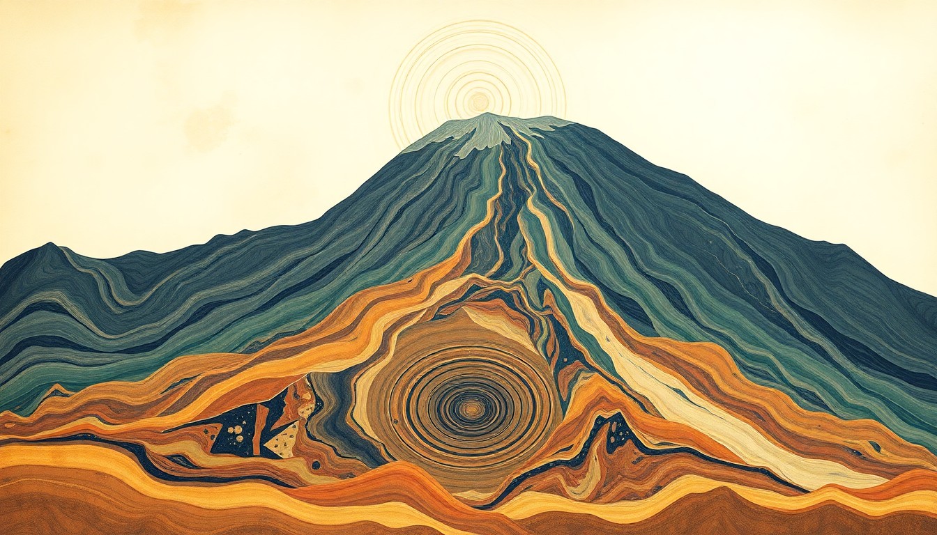 A striking abstract illustration captures the intricate geological forces that shape California's majestic Mount Shasta, a canvas for dedicated scientists scaling its heights.Mount Shasta Today
Mount Shasta, California's largest active volcano, presents a unique and challenging task for scientists and researchers. Dr. Andy Calvert of the U.S. Geological Survey (USGS) and Nick Meyers, Lead Climbing Ranger with the U.S. Forestry Service, lead expeditions to the volcano's 14,000-foot summit every two years to collect samples and monitor its activity. This high-risk, high-stress endeavor requires specialized mountaineering skills and a fluid partnership between the two agencies to ensure the safety of climbers and gather essential data about the volcano's history and future.
Why it matters
Mount Shasta's active status makes it a crucial geological site for study, as researchers work to map the volcano's history and predict its future behavior. The collaboration between the USGS and U.S. Forestry Service allows them to safely access the mountain and collect data that informs emergency preparedness and public safety efforts.
The details
Dr. Calvert specializes in dating rocks, while Meyers serves as the Lead Climbing Ranger, showcasing the diverse skills needed for these expeditions. The teams must navigate rapidly changing conditions and real hazards on the mountain, including the risk of avalanches and sudden weather changes. Despite the challenges, the researchers are able to collect samples and monitor the volcano's activity every two years.
- The USGS teams visit Mount Shasta every two years to collect samples and data.
- The most recent expedition took place in April 2026.
The players
Dr. Andy Calvert
A researcher with the U.S. Geological Survey (USGS) who specializes in dating rocks and leads the expeditions to Mount Shasta.
Nick Meyers
The Lead Climbing Ranger with the U.S. Forestry Service who collaborates with the USGS team and ensures the safety of climbers on Mount Shasta.
U.S. Geological Survey (USGS)
A scientific agency that conducts research and collects data on the United States' geological resources, including active volcanoes like Mount Shasta.
U.S. Forestry Service
A federal agency responsible for managing and protecting national forests and grasslands, including the area around Mount Shasta.
What they’re saying
“Despite the risks, the pursuit of scientific knowledge can be incredibly fulfilling.”
— Dr. Andy Calvert, USGS Researcher
“My work on Mount Shasta is a testament to the impact one can have by protecting and preserving such a unique place.”
— Nick Meyers, Lead Climbing Ranger, U.S. Forestry Service
What’s next
The USGS and U.S. Forestry Service teams will continue their biennial expeditions to Mount Shasta to monitor the volcano's activity and collect critical data for emergency preparedness and public safety efforts.
The takeaway
The story of Mount Shasta's scientists highlights the importance of collaboration, risk-taking, and the pursuit of scientific knowledge in the face of extreme challenges. Their work not only advances our understanding of this active volcano but also serves as a testament to human resilience and the power of partnership.