- Today
- Holidays
- Birthdays
- Reminders
- Cities
- Atlanta
- Austin
- Baltimore
- Berwyn
- Beverly Hills
- Birmingham
- Boston
- Brooklyn
- Buffalo
- Charlotte
- Chicago
- Cincinnati
- Cleveland
- Columbus
- Dallas
- Denver
- Detroit
- Fort Worth
- Houston
- Indianapolis
- Knoxville
- Las Vegas
- Los Angeles
- Louisville
- Madison
- Memphis
- Miami
- Milwaukee
- Minneapolis
- Nashville
- New Orleans
- New York
- Omaha
- Orlando
- Philadelphia
- Phoenix
- Pittsburgh
- Portland
- Raleigh
- Richmond
- Rutherford
- Sacramento
- Salt Lake City
- San Antonio
- San Diego
- San Francisco
- San Jose
- Seattle
- Tampa
- Tucson
- Washington
Santa Rosa Today
By the People, for the People
Aerial photos show Maricopa's rapid eastward expansion
2006 maps reveal how much the city has grown in 20 years
Apr. 4, 2026 at 11:15pm
Got story updates? Submit your updates here. ›
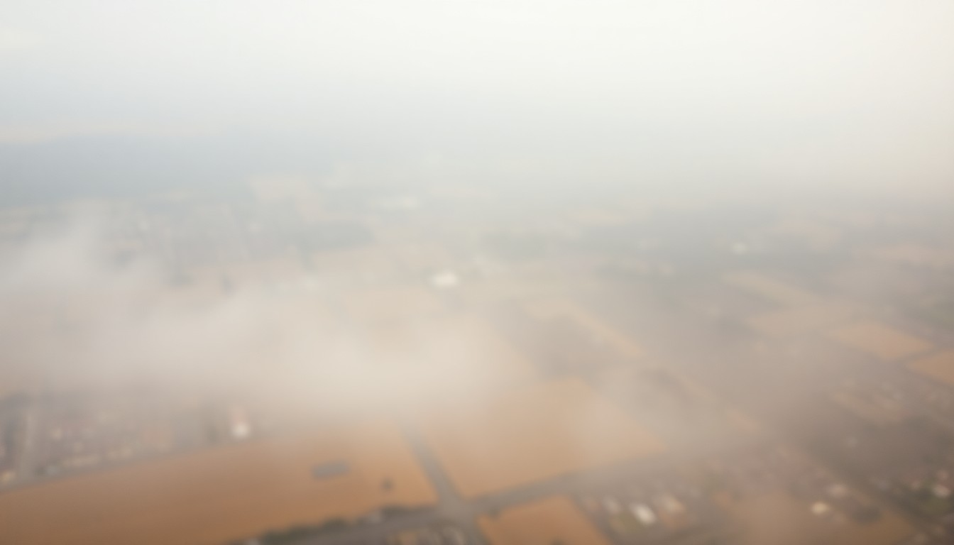 Aerial maps from 2006 reveal Maricopa's rapid eastward expansion, with farmland and future development sites giving way to thriving neighborhoods and commercial centers over the past two decades.Santa Rosa Today
Aerial photographs from 2006 show the planned Desert Passage subdivision on the eastern edge of Maricopa, Arizona, with surrounding farmland and future retail sites. The images provide a glimpse into the city's rapid growth and expansion over the past two decades, with neighborhoods and developments now located much farther east.
Why it matters
These historical aerial maps illustrate the dramatic transformation of Maricopa, which has grown from a small town to a thriving city through rapid residential and commercial development. The images offer a unique perspective on the city's evolution and the shifting boundaries of its population and infrastructure.
The details
The 2006 aerial maps, produced by Landiscor Aerial Information for KB Home, show a version of Maricopa that looks vastly different from today. Across White and Parker Road, the land where Maricopa City Hall now stands was still farmland. The future Central Arizona College campus and the Edison Pointe shopping center were also marked as farmland and 'future retail' sites, respectively. The maps also label nearby landmarks like The Duke golf club, Santa Rosa and Pima Butte Elementary Schools, and the University of Arizona agricultural campus.
- The aerial photographs were taken in 2006.
- The Desert Passage subdivision is now almost fully built out, with 750 homes on 770 lots.
- The South Mountain Freeway, which was only a proposed route across the Gila River Indian Community in 2006, opened in 2019.
The players
Landiscor Aerial Information
A company that produced the aerial maps of Maricopa in 2006 for KB Home.
KB Home
The homebuilder that commissioned the aerial maps to promote the planned Desert Passage subdivision.
Brian Petersheim Sr.
A longtime Maricopa Realtor who recalls that much of the nearby Desert Cedars subdivision was located within a flood zone when it began development.
What they’re saying
“Maricopa's eastern population boundary now sits about 3½ miles east of Desert Passage. Measured the other direction, that same distance west from Desert Passage would put you outside city limits, beyond Alterra — a reminder of how much the city's footprint shifted in 20 years.”
— Brian Petersheim Sr., Maricopa Realtor
The takeaway
These historical aerial maps provide a fascinating glimpse into Maricopa's rapid growth and transformation over the past two decades, from a small town with farmland and future development sites to a thriving city with thousands of new residents and businesses located far beyond its former eastern boundaries.