- Today
- Holidays
- Birthdays
- Reminders
- Cities
- Atlanta
- Austin
- Baltimore
- Berwyn
- Beverly Hills
- Birmingham
- Boston
- Brooklyn
- Buffalo
- Charlotte
- Chicago
- Cincinnati
- Cleveland
- Columbus
- Dallas
- Denver
- Detroit
- Fort Worth
- Houston
- Indianapolis
- Knoxville
- Las Vegas
- Los Angeles
- Louisville
- Madison
- Memphis
- Miami
- Milwaukee
- Minneapolis
- Nashville
- New Orleans
- New York
- Omaha
- Orlando
- Philadelphia
- Phoenix
- Pittsburgh
- Portland
- Raleigh
- Richmond
- Rutherford
- Sacramento
- Salt Lake City
- San Antonio
- San Diego
- San Francisco
- San Jose
- Seattle
- Tampa
- Tucson
- Washington
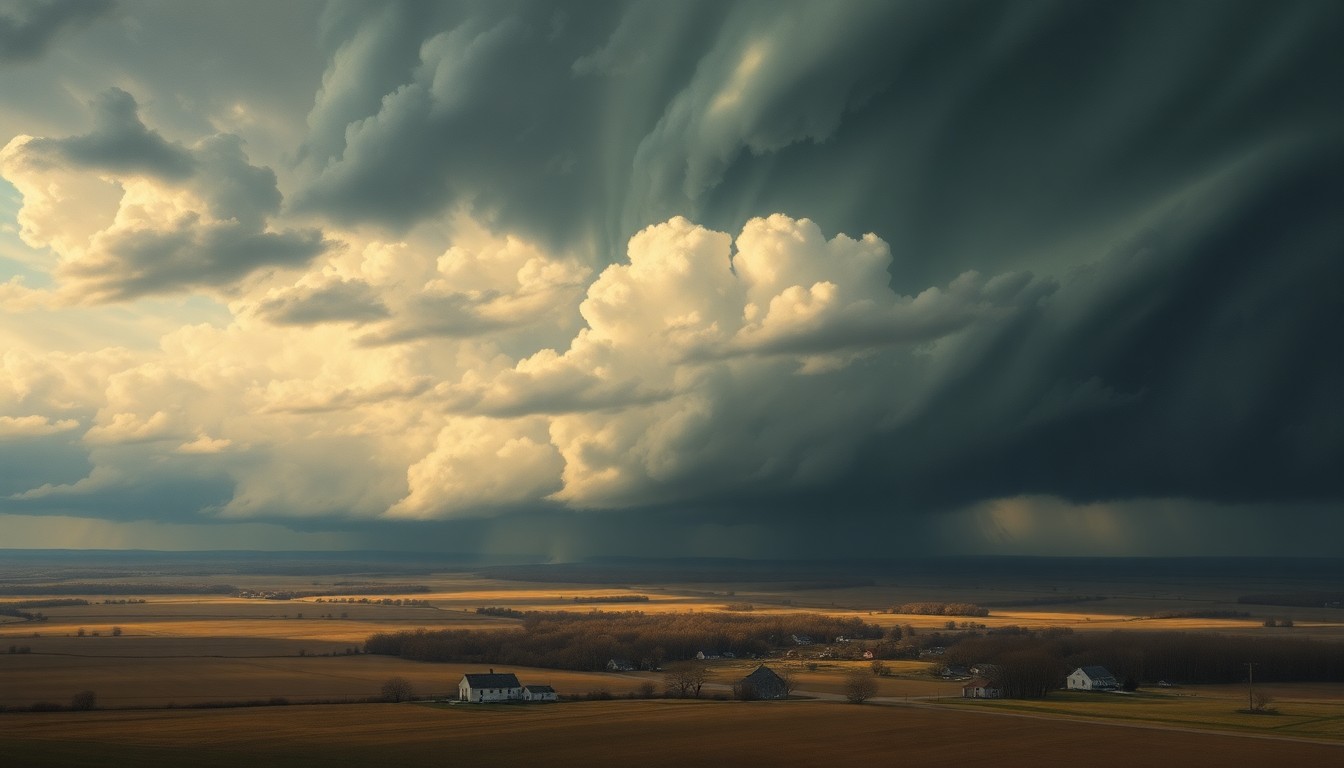
Northeast Wisconsin Braces for Wintry Weather After Record Warmth
A cold front will bring a mix of snow, sleet, and freezing rain to the region over the next few days.
Mar. 9, 2026 at 10:03pm
Got story updates? Submit your updates here. ›
After record-breaking warm temperatures in northeast Wisconsin, a cold front is moving through the state and ushering in a period of wintry weather. Tomorrow, a band of snow or a wintry mix is expected to form up north in the afternoon, tapering off in the evening. A period of rain or a wintry mix is also possible around midnight Wednesday morning, followed by a band of snow moving from west to east across the area Wednesday morning through the early afternoon. The best chance for accumulating snow will be north of Green Bay, with 1-3 inches possible, along with a potential glaze of ice from freezing rain or sleet. Additional wintry weather is also expected Thursday night into Friday and Saturday night into Sunday.
Why it matters
The sudden shift from record warmth to wintry conditions will likely cause disruptions and challenges for residents in northeast Wisconsin, including potential power outages, dangerous driving conditions, and impacts on daily routines. The weather pattern also highlights the unpredictable nature of early spring weather in the region.
The details
After temperatures reached the 70s in northeast Wisconsin on Thursday, well above normal for early March, a cold front is now moving through the state. This will usher in several days of more seasonable, and wintry, weather. Tomorrow, a band of snow or a wintry mix is expected to form up north in the afternoon, with highs only reaching the low to mid 40s. Around midnight Wednesday morning, a period of rain or a wintry mix is possible, followed by a band of snow moving from west to east across the area Wednesday morning through the early afternoon. The best chance for accumulating snow will be north of Green Bay, which could see 1-3 inches, along with a potential glaze of ice from freezing rain or sleet. Additional wintry weather is also expected Thursday night into Friday and Saturday night into Sunday.
- Tomorrow (March 10, 2026) afternoon, a band of snow or wintry mix is expected to form up north.
- Around midnight on Wednesday morning (March 11, 2026), a period of rain or wintry mix is possible.
- Wednesday morning through early afternoon (March 11, 2026), a band of snow will move from west to east across the area.
- Thursday night into Friday (March 13-14, 2026) and Saturday night into Sunday (March 15-16, 2026), additional wintry weather is expected.
The players
Storm Team 5
The weather forecasting team for the local news station in northeast Wisconsin.
What’s next
Residents in northeast Wisconsin should monitor the weather forecasts closely over the next several days and be prepared for potential disruptions and challenges caused by the wintry weather, including the possibility of power outages, dangerous driving conditions, and impacts on daily routines.
The takeaway
The sudden shift from record warmth to wintry conditions in northeast Wisconsin highlights the unpredictable nature of early spring weather in the region. Residents should stay vigilant and prepared for the changing weather patterns, which can cause significant disruptions and challenges in the community.