- Today
- Holidays
- Birthdays
- Reminders
- Cities
- Atlanta
- Austin
- Baltimore
- Berwyn
- Beverly Hills
- Birmingham
- Boston
- Brooklyn
- Buffalo
- Charlotte
- Chicago
- Cincinnati
- Cleveland
- Columbus
- Dallas
- Denver
- Detroit
- Fort Worth
- Houston
- Indianapolis
- Knoxville
- Las Vegas
- Los Angeles
- Louisville
- Madison
- Memphis
- Miami
- Milwaukee
- Minneapolis
- Nashville
- New Orleans
- New York
- Omaha
- Orlando
- Philadelphia
- Phoenix
- Pittsburgh
- Portland
- Raleigh
- Richmond
- Rutherford
- Sacramento
- Salt Lake City
- San Antonio
- San Diego
- San Francisco
- San Jose
- Seattle
- Tampa
- Tucson
- Washington
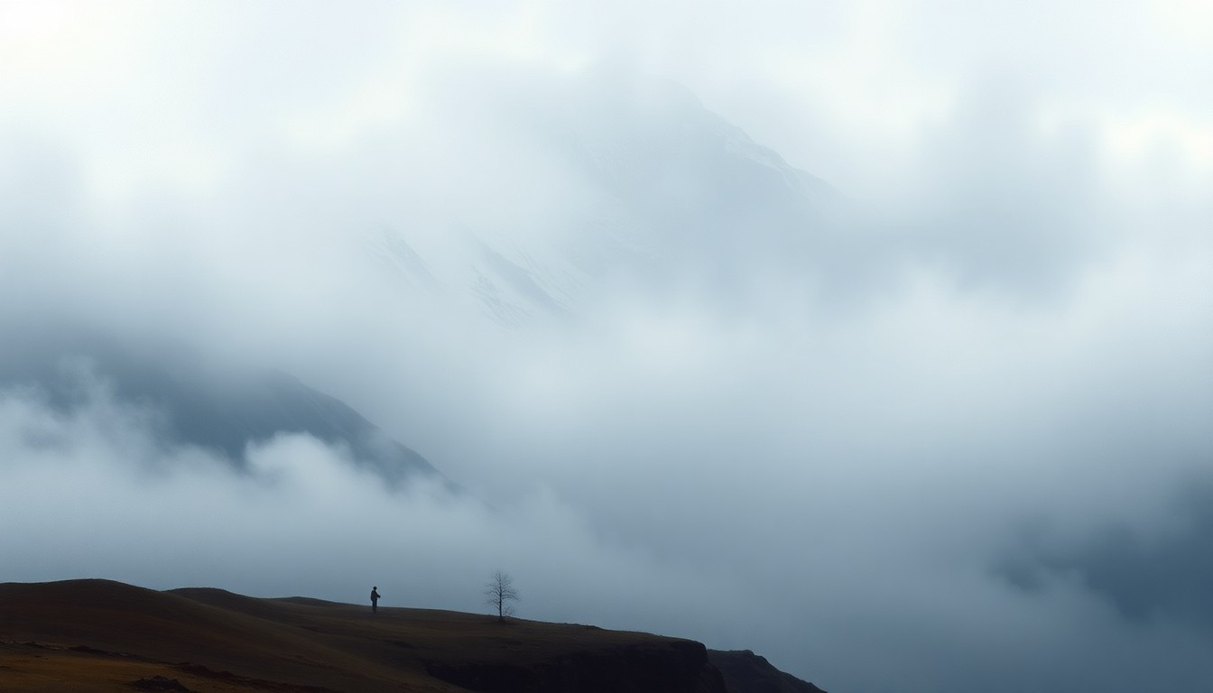
Seattle Area Braces for Light Rain, Possible 'Wet Flakes'
Cooler temperatures and a weather trough could bring some mountain snow, but no significant accumulation expected.
Feb. 15, 2026 at 10:07pm
Got story updates? Submit your updates here. ›
The Seattle area is expected to see a cooling weather pattern this week, with lows in the mid 30s, highs in the mid 40s, and a mix of light rain showers and potential 'wet flakes' of snow starting Sunday night. While the Cascade and Olympic mountains may see some light snow accumulation of up to an inch and a half, the lowlands around Seattle are unlikely to see any significant snowfall, according to National Weather Service meteorologist Steve Reedy.
Why it matters
Seattle residents are accustomed to the region's mild, rainy winters, so any potential for snow, even light flurries, can generate interest and concern about road conditions and potential disruptions, especially for commuters and outdoor activities.
The details
The cooler weather and chance of precipitation is being caused by a 'trough', an area of relatively low atmospheric pressure, that will move into the Seattle area on Sunday night. While the mountains may see some light snow accumulation, the lowlands around Seattle are only expected to see a mix of light rain showers and possibly some 'wet flakes' of snow, but no accumulation is expected.
- Starting Sunday night, the Seattle area could see a mix of light rain and potential 'wet flakes' of snow.
- The cooler weather pattern and chance of precipitation is expected to continue for the next 10 days.
The players
Steve Reedy
A National Weather Service meteorologist who provided the forecast details for the Seattle area.
What they’re saying
“For the most part, the precipitation will probably be rain for us here in the lowlands.”
— Steve Reedy, National Weather Service meteorologist
“Nothing that we're expecting to accumulate.”
— Steve Reedy, National Weather Service meteorologist
The takeaway
While the Seattle area may see some light rain and potential 'wet flakes' of snow in the coming days, no significant accumulation is expected, highlighting the region's typically mild and rainy winter weather patterns.
Seattle top stories


Seattle events

Apr. 7, 2026
Currents and ERRA
Apr. 7, 2026
The Summer Set, Senses, Lindsay Ell, Good Boy Daisy