- Today
- Holidays
- Birthdays
- Reminders
- Cities
- Atlanta
- Austin
- Baltimore
- Berwyn
- Beverly Hills
- Birmingham
- Boston
- Brooklyn
- Buffalo
- Charlotte
- Chicago
- Cincinnati
- Cleveland
- Columbus
- Dallas
- Denver
- Detroit
- Fort Worth
- Houston
- Indianapolis
- Knoxville
- Las Vegas
- Los Angeles
- Louisville
- Madison
- Memphis
- Miami
- Milwaukee
- Minneapolis
- Nashville
- New Orleans
- New York
- Omaha
- Orlando
- Philadelphia
- Phoenix
- Pittsburgh
- Portland
- Raleigh
- Richmond
- Rutherford
- Sacramento
- Salt Lake City
- San Antonio
- San Diego
- San Francisco
- San Jose
- Seattle
- Tampa
- Tucson
- Washington
Park City Today
By the People, for the People
Winter Storm Brings Up to 3 Feet of Snow to Utah's Wasatch Range
Winter storm warning issued for Park City area with heavy snow expected through Thursday
Published on Feb. 17, 2026
Got story updates? Submit your updates here. ›
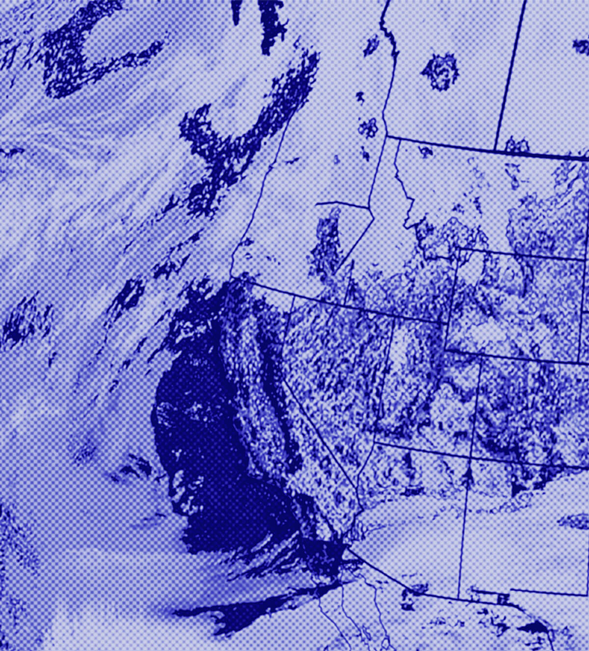
A powerful winter storm is set to bring heavy snow accumulations of up to 3 feet to Utah's Wasatch Range, including the Park City area, over the next few days. The storm will arrive in two waves, with the first starting overnight into Tuesday and the second moving in Tuesday night into Wednesday. Snow levels are expected to drop significantly, allowing snow to reach lower elevation valleys as well.
Why it matters
This winter storm will provide a much-needed boost to the region's snowpack after an almost month-long dry spell from early January through February. The heavy snow could impact travel and outdoor activities, but will be welcomed by skiers, snowboarders, and others who depend on winter weather in the Wasatch.
The details
The first storm will bring heavy snow overnight into Tuesday, with accumulations of 10-18 inches expected in the Park City area and 24-38 inches in the Cottonwood Canyons. Snow levels will drop from near 7,500 feet to 4,500 feet during this time. A second, even colder storm is forecast to move through on Wednesday, dropping another 1-2 feet of snow, especially in favored areas like the Cottonwoods. Winds will shift more westerly with this system.
- The first storm will begin overnight tonight into Tuesday, February 18, 2026.
- The second storm is expected to move through on Wednesday, February 19, 2026.
The players
Park City
A ski town in Utah's Wasatch Range that is expected to receive heavy snow accumulations from the incoming winter storms.
Cottonwood Canyons
Popular ski areas near Salt Lake City that could see up to 38 inches of snow from the storms.
Utah Avalanche Center
The organization that has issued an avalanche watch in conjunction with the winter storm warning.
What’s next
There is some uncertainty regarding a potential third storm system that could impact northern Utah on Friday, but the long-range forecast remains active with another low-pressure system expected to form off the West Coast early next week.
The takeaway
This powerful winter storm will be a welcome sight for skiers, snowboarders, and others who depend on heavy snowfall in the Wasatch Range. The accumulations could impact travel and outdoor activities, but will help replenish the region's snowpack after a dry start to 2026.


