- Today
- Holidays
- Birthdays
- Reminders
- Cities
- Atlanta
- Austin
- Baltimore
- Berwyn
- Beverly Hills
- Birmingham
- Boston
- Brooklyn
- Buffalo
- Charlotte
- Chicago
- Cincinnati
- Cleveland
- Columbus
- Dallas
- Denver
- Detroit
- Fort Worth
- Houston
- Indianapolis
- Knoxville
- Las Vegas
- Los Angeles
- Louisville
- Madison
- Memphis
- Miami
- Milwaukee
- Minneapolis
- Nashville
- New Orleans
- New York
- Omaha
- Orlando
- Philadelphia
- Phoenix
- Pittsburgh
- Portland
- Raleigh
- Richmond
- Rutherford
- Sacramento
- Salt Lake City
- San Antonio
- San Diego
- San Francisco
- San Jose
- Seattle
- Tampa
- Tucson
- Washington
Widespread 30s Bring Frost Risk Across Carolinas
Overnight lows could dip below freezing as far south as Upstate through Thursday morning.
Apr. 2, 2026 at 10:19pm
Got story updates? Submit your updates here. ›
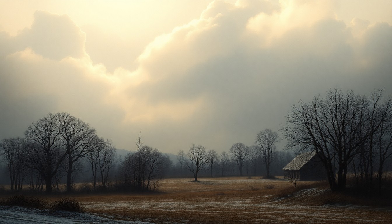 As a sudden cold front sweeps across the Carolinas, the region's rural landscapes face the looming threat of frost and freezing temperatures.Greenville Today
A reinforcing cold air mass will push nighttime lows into the low 30s across western North Carolina and the Upstate of South Carolina Tuesday night into Wednesday morning, with a second round of cold settling in Wednesday night through Thursday morning. Frost formation is likely where skies clear and winds calm, especially between 2 a.m. and 9 a.m.
Why it matters
The sudden cold snap poses a threat to sensitive vegetation, early blooms, and outdoor plumbing across the region. Residents will need to take precautions to protect plants, pets, and property from the freezing temperatures.
The details
Mountain towns including Boone, Burnsville, and Newland are expected to see the coldest readings, ranging from 28°F to 31°F. Asheville could bottom out near 30°F, while foothill communities like Hickory and Lenoir hover in the mid-30s. Farther south, Greenville, Spartanburg, and Anderson remain just above freezing in the upper 30s to near 41°F, but patchy frost may still develop in low-lying areas.
- Tuesday night into Wednesday morning, temperatures will drop into the low 30s.
- Wednesday night through Thursday morning, a second round of cold will settle in.
- Between 2 a.m. and 9 a.m., frost formation is likely where skies clear and winds calm.
The players
National Weather Service in Greenville-Spartanburg
The local office of the National Weather Service that issued the forecast and warnings for the Carolinas region.
What’s next
Additional advisories may be issued as conditions evolve.
The takeaway
Residents across the Carolinas should be prepared to protect sensitive plants, outdoor plumbing, and other vulnerable assets from the sudden drop in temperatures and risk of frost over the next few days.
Greenville top stories


Greenville events

Apr. 4, 2026
A Gentleman's Guide to Love and Murder
Apr. 8, 2026
Greenville Swamp Rabbits vs. Savannah Ghost Pirates
Apr. 9, 2026
Greenville Swamp Rabbits vs. Bloomington Bison