- Today
- Holidays
- Birthdays
- Reminders
- Cities
- Atlanta
- Austin
- Baltimore
- Berwyn
- Beverly Hills
- Birmingham
- Boston
- Brooklyn
- Buffalo
- Charlotte
- Chicago
- Cincinnati
- Cleveland
- Columbus
- Dallas
- Denver
- Detroit
- Fort Worth
- Houston
- Indianapolis
- Knoxville
- Las Vegas
- Los Angeles
- Louisville
- Madison
- Memphis
- Miami
- Milwaukee
- Minneapolis
- Nashville
- New Orleans
- New York
- Omaha
- Orlando
- Philadelphia
- Phoenix
- Pittsburgh
- Portland
- Raleigh
- Richmond
- Rutherford
- Sacramento
- Salt Lake City
- San Antonio
- San Diego
- San Francisco
- San Jose
- Seattle
- Tampa
- Tucson
- Washington
Significant Warming Trend Followed by Rounds of Rain
Temperatures to peak Tuesday ahead of approaching cold front, bringing heavy rainfall risk
Mar. 29, 2026 at 11:27am
Got story updates? Submit your updates here. ›
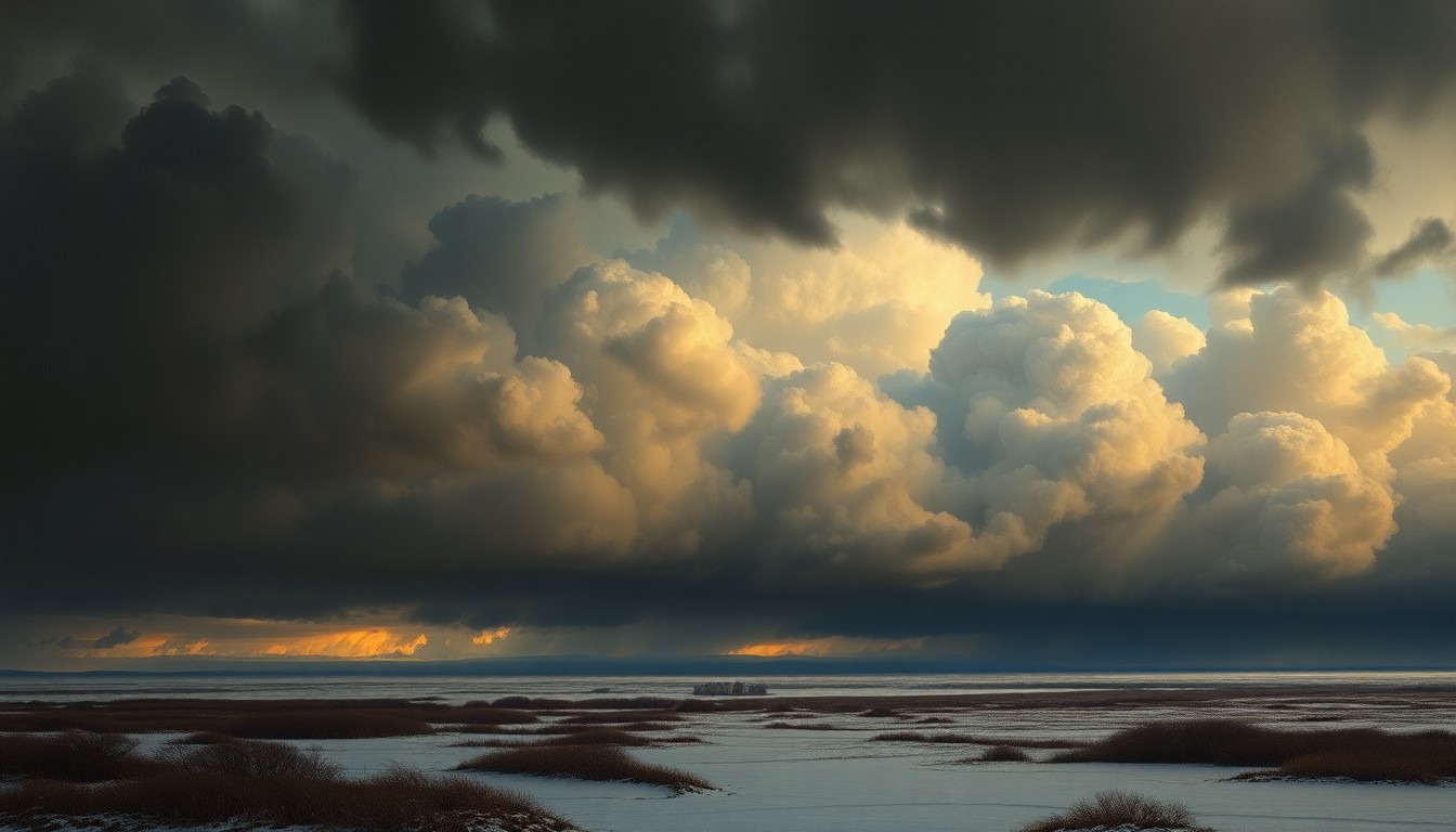 As a dramatic shift in weather conditions approaches, the region braces for the potential impact of heavy rainfall and flooding.Buffalo Today
Forecasters predict a significant warming trend starting today and continuing through Tuesday across Western and Central New York, with temperatures reaching the 50s and potentially lower 70s. However, this warmth will be followed by several rounds of heavy rainfall, with the potential for poor drainage flooding and rises on local rivers and creeks, especially late Tuesday into Wednesday.
Why it matters
The rapid shift from warm temperatures to heavy rainfall could create hazardous conditions and impact travel, outdoor activities, and flood-prone areas in the region. Residents will need to closely monitor forecasts and be prepared to take appropriate safety precautions.
The details
Temperatures on Sunday afternoon will be noticeably warmer than Saturday, with most areas at least 15 degrees warmer and reaching near 50 to the mid 50s. The warming trend will continue through Monday and peak on Tuesday, potentially reaching the lower 70s across the lower elevations, though clouds and showers may temper the warmth to some extent. Several rounds of heavy rainfall are expected Tuesday through the end of the week, with widespread rainfall of a half inch to an inch likely and some higher amounts possible, bringing a risk of poor drainage flooding and rises on area rivers and creeks.
- Temperatures will start warming this afternoon, March 29, 2026.
- Highs will reach the mid to upper 50s on Monday, March 30, 2026.
- The warmth will peak on Tuesday, March 31, 2026, with potential for lower 70s.
- Heavy rainfall is expected Tuesday, March 31, 2026, through the end of the week.
The players
National Weather Service
The federal agency responsible for weather forecasting and issuing weather-related warnings and advisories for the United States.
What they’re saying
“Temperatures are still chilly this morning, but a day to day warming trend will start this afternoon and last through Tuesday. Highs will reach the 50s this afternoon in most areas, with 40s close to Lake Erie and east of Lake Ontario.”
— NWS Buffalo
What’s next
Residents should closely monitor weather forecasts and be prepared to take appropriate safety precautions, such as avoiding flood-prone areas, if the higher end rainfall amounts are realized.
The takeaway
The rapid shift from warm temperatures to heavy rainfall in Western and Central New York highlights the need for residents to stay vigilant and prepared for changing weather conditions that could impact travel, outdoor activities, and flood-prone areas.