- Today
- Holidays
- Birthdays
- Reminders
- Cities
- Atlanta
- Austin
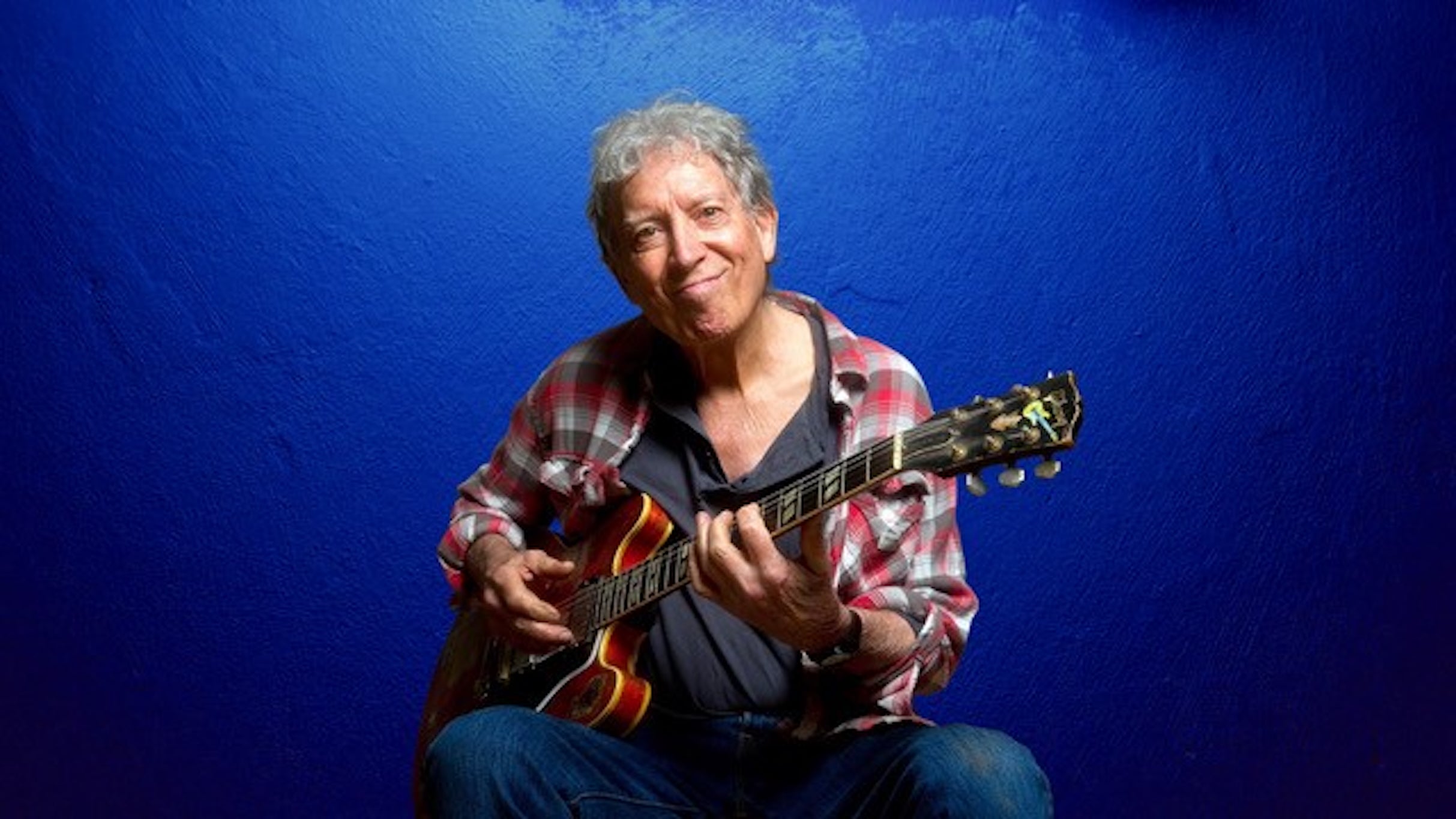
- Baltimore
- Berwyn
- Beverly Hills
- Birmingham
- Boston
- Brooklyn
- Buffalo
- Charlotte
- Chicago
- Cincinnati
- Cleveland
- Columbus
- Dallas
- Denver
- Detroit
- Fort Worth
- Houston
- Indianapolis
- Knoxville
- Las Vegas
- Los Angeles
- Louisville
- Madison
- Memphis
- Miami
- Milwaukee
- Minneapolis
- Nashville
- New Orleans
- New York
- Omaha
- Orlando
- Philadelphia
- Phoenix
- Pittsburgh
- Portland
- Raleigh
- Richmond
- Rutherford
- Sacramento
- Salt Lake City
- San Antonio
- San Diego
- San Francisco
- San Jose
- Seattle
- Tampa
- Tucson
- Washington
Hawaii Braces for Extreme Rainfall as Kona Low Approaches
Flood watches issued as state prepares for up to 20 inches of rain in just 5 days, exceeding March averages by 3 times.
Published on Mar. 11, 2026
Got story updates? Submit your updates here. ›
The entire state of Hawaii is under a flood watch as the National Weather Service warns that between 15 and 20 inches of rain could slam Honolulu over the next seven days. Forecasters say parts of the western islands could see torrential rainfall that could exceed March averages three times over or more in just a matter of days, triggering considerable flash flooding across the state.
Why it matters
Hawaii is bracing for a dangerous stretch of storms this week as a powerful Kona low drags deep tropical moisture over the islands, raising the risk of life-threatening flash floods, severe thunderstorms, and even the possibility of tornadoes and heavy snow at higher elevations - a rare occurrence for the state.
The details
The rainfall rates could reach up to 2 inches per hour, which could trigger significant flooding due to the overflow of streams and drainages, road closures, property damage in urban or low-lying areas, and landslides in steep terrain. In addition to the heavy rain, severe thunderstorms are possible, a relatively rare occurrence for Hawaii.
- The flood watch began on Wednesday, March 11, 2026.
- The heavy rainfall is expected to continue through the next 7 days, until Sunday, March 16, 2026.
The players
National Weather Service (NWS)
The federal agency responsible for weather forecasting and issuing weather-related warnings and watches in the United States.
Scott Kleebauer
A meteorologist with the NWS Weather Prediction Center who spoke to Newsweek about the impending storm system.
Colin McCarthy
An extreme weather chaser who posted about the Kona Low storm on X (formerly Twitter).
Jon Jelsema
A senior forecaster with the NWS Honolulu office who spoke to Newsweek about the relative rarity of severe thunderstorm warnings in Hawaii.
What they’re saying
“A major Kona Low is going to slam Hawaii this week bringing significant flooding, severe thunderstorms, damaging winds, and blizzard conditions on its highest peaks. 13 inches of rain is forecast Tuesday–Saturday in Honolulu, 80% of the city's annual rainfall in 5 days. Outside of the extraordinary March 1958 storm that holds all five of the top spots in the record books, this would be the wettest 5-day period since records began in 1940. Higher terrain on Oahu could see 20–30 inches of rain through Sunday. Impacts begin tonight on Kauai.”
— Colin McCarthy (X (formerly Twitter)
What’s next
The National Weather Service will continue to monitor the storm system and issue updated forecasts and warnings as the heavy rainfall and severe weather impacts unfold across Hawaii in the coming days.
The takeaway
This powerful Kona Low storm system serves as a stark reminder of the extreme weather events that Hawaii must be prepared to face, underscoring the need for robust emergency planning and disaster response capabilities to protect residents and visitors alike from the potentially devastating impacts of flash flooding, severe storms, and other climate-related hazards.