- Today
- Holidays
- Birthdays
- Reminders
- Cities
- Atlanta
- Austin
- Baltimore
- Berwyn
- Beverly Hills
- Birmingham
- Boston
- Brooklyn
- Buffalo
- Charlotte
- Chicago
- Cincinnati
- Cleveland
- Columbus
- Dallas
- Denver
- Detroit
- Fort Worth
- Houston
- Indianapolis
- Knoxville
- Las Vegas
- Los Angeles
- Louisville
- Madison
- Memphis
- Miami
- Milwaukee
- Minneapolis
- Nashville
- New Orleans
- New York
- Omaha
- Orlando
- Philadelphia
- Phoenix
- Pittsburgh
- Portland
- Raleigh
- Richmond
- Rutherford
- Sacramento
- Salt Lake City
- San Antonio
- San Diego
- San Francisco
- San Jose
- Seattle
- Tampa
- Tucson
- Washington
PAHO/WHO and Esri Strengthen Spatial Statistics and Risk Modeling Capabilities Across the Americas
Virtual training session aims to improve emergency and disaster preparedness and response through advanced GIS tools and techniques.
Published on Mar. 6, 2026
Got story updates? Submit your updates here. ›
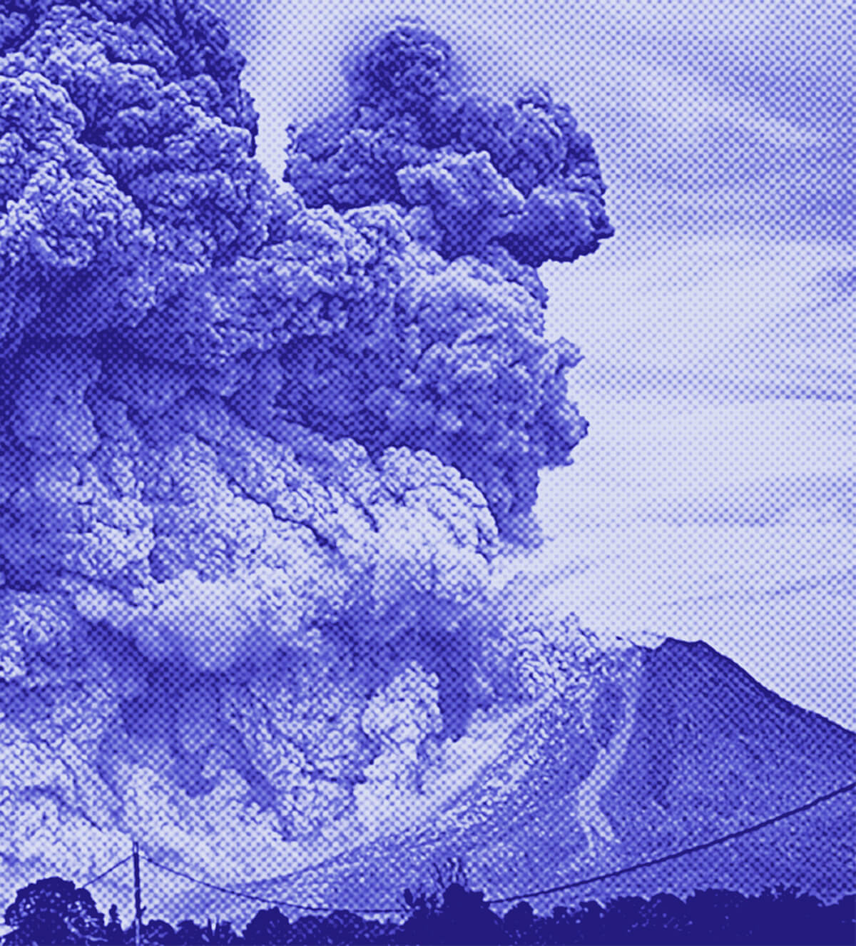
The Pan American Health Organization/World Health Organization (PAHO/WHO), in collaboration with Esri, a leading GIS software company, held a virtual technical session to strengthen countries' capacities in spatial statistics and risk modeling for health emergencies and disasters. The 90-minute webinar presented practical approaches to transform geospatial data into strategic information to support public health decision-making, including hands-on demonstrations of GIS tools and risk analysis techniques.
Why it matters
Improving spatial analysis and risk modeling capabilities across the Americas is crucial for enhancing emergency and disaster preparedness and response. By identifying concentrations of vulnerability and risk, public health authorities can prioritize interventions and allocate resources more effectively to mitigate the impact of hazards.
The details
The virtual session showcased methods to analyze and compare the characteristics of different territories, identify concentrations of vulnerability and risk, and prioritize interventions in a transparent and evidence-based manner. Participants learned to use ArcGIS Pro tools such as Calculate Composite Index and Suitability Modeler to conduct comparative assessments and visualize results for mitigation, prevention, and response to various hazards.
- The virtual technical session was held on March 6, 2026.
The players
Pan American Health Organization/World Health Organization (PAHO/WHO)
An international public health agency that works to improve health and living standards in the countries of the Americas.
Esri
A leading company in the development of geographic information system (GIS) software and spatial analysis tools.
The takeaway
By strengthening spatial statistics and risk modeling capabilities across the Americas, public health authorities can better identify and address vulnerabilities, prioritize interventions, and improve emergency and disaster preparedness and response to mitigate the impact of hazards in the region.
Washington top stories


Washington events

Mar. 7, 2026
The Harlem Globetrotters 100 Year Tour
Mar. 7, 2026
Georgetown Hoyas Men's Basketball v. Providence
Mar. 7, 2026
Harlem Globetrotters 100 Year Tour Souvenir Ticket