- Today
- Holidays
- Birthdays
- Reminders
- Cities
- Atlanta
- Austin
- Baltimore
- Berwyn
- Beverly Hills
- Birmingham
- Boston
- Brooklyn
- Buffalo
- Charlotte
- Chicago
- Cincinnati
- Cleveland
- Columbus
- Dallas
- Denver
- Detroit
- Fort Worth
- Houston
- Indianapolis
- Knoxville
- Las Vegas
- Los Angeles
- Louisville
- Madison
- Memphis
- Miami
- Milwaukee
- Minneapolis
- Nashville
- New Orleans
- New York
- Omaha
- Orlando
- Philadelphia
- Phoenix
- Pittsburgh
- Portland
- Raleigh
- Richmond
- Rutherford
- Sacramento
- Salt Lake City
- San Antonio
- San Diego
- San Francisco
- San Jose
- Seattle
- Tampa
- Tucson
- Washington
Storm Team4 Forecast: Cold Again in the 40s but Milder Temps, Rain Are Coming
A gradual warming trend with rain is expected in the D.C. region after another cold day.
Mar. 18, 2026 at 9:18am
Got story updates? Submit your updates here. ›
Today will be another cold day in the D.C. area, with temperatures struggling to reach the 40s and another freeze expected tonight. However, a warming trend is on the way, with temperatures reaching the 50s on Thursday and the 60s on Friday, along with a chance of rain. The weekend is expected to be milder, with highs in the 60s and 70s, but a cold front is expected to arrive on Sunday afternoon, bringing rain and cooler temperatures to start the new week.
Why it matters
The D.C. region has experienced a prolonged period of cold weather, which can be disruptive to daily life and activities. The upcoming warming trend and rain will be a welcome change, but the potential for severe weather on Sunday could also impact weekend plans.
The details
Temperatures will start out well below freezing on Wednesday morning, and with limited sunshine before noon, the region will be lucky to reach the 40s for a few hours in the afternoon. Another hard freeze is expected Wednesday night. Thursday will be seasonably cool, with highs in the upper 40s in northern Maryland and near the Bay, and the low to mid-50s for the rest of the area. Skies will turn cloudy again by noon on Friday, and there's an increasing chance for rain Friday evening and overnight. Most of the area will get back above 60 degrees on Friday afternoon. The rain is expected to clear out before 9 a.m. on Saturday, and breaks of sun in the afternoon will help warm things up to the mid- to upper 60s, with 70s possible if the rain clears out early enough. A cold front is expected to arrive mid- to late Sunday afternoon, bringing rain chances and cooler temperatures to start the new week.
- Temperatures will start out well below freezing on Wednesday morning.
- Another hard freeze is expected Wednesday night.
- Skies will turn cloudy again by noon on Friday, and there's an increasing chance for rain Friday evening and overnight.
- A cold front is expected to arrive mid- to late Sunday afternoon.
The players
Storm Team4
The weather forecasting team at NBC4 in Washington, D.C.
What’s next
The cold front arriving on Sunday afternoon could bring severe weather, so residents should monitor the forecast and be prepared to adjust any outdoor plans accordingly.
The takeaway
After a prolonged period of cold weather, the D.C. region is set to experience a gradual warming trend, with temperatures reaching the 60s and 70s by the weekend. However, the arrival of a cold front on Sunday could bring rain and cooler temperatures to start the new week, so residents should stay informed and prepared for changing weather conditions.
Phoenix top stories


Phoenix events
Apr. 13, 2026
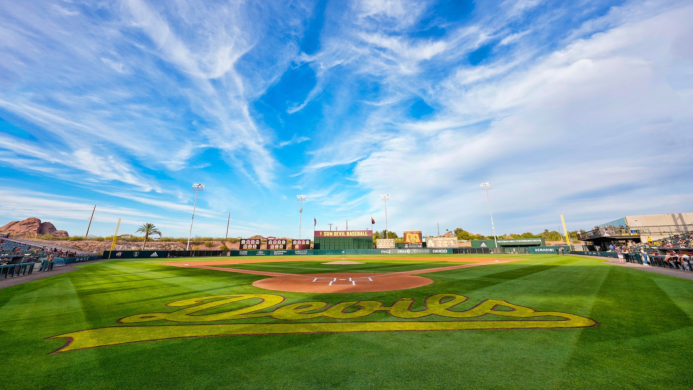
Sun Devil Baseball v University of Arizona
Apr. 13, 2026
DEAD CALM
Apr. 13, 2026
DEVO: Mutate Don't Stagnate