- Today
- Holidays
- Birthdays
- Reminders
- Cities
- Atlanta
- Austin
- Baltimore
- Berwyn
- Beverly Hills
- Birmingham
- Boston
- Brooklyn
- Buffalo
- Charlotte
- Chicago
- Cincinnati
- Cleveland
- Columbus
- Dallas
- Denver
- Detroit
- Fort Worth
- Houston
- Indianapolis
- Knoxville
- Las Vegas
- Los Angeles
- Louisville
- Madison
- Memphis
- Miami
- Milwaukee
- Minneapolis
- Nashville
- New Orleans
- New York
- Omaha
- Orlando
- Philadelphia
- Phoenix
- Pittsburgh
- Portland
- Raleigh
- Richmond
- Rutherford
- Sacramento
- Salt Lake City
- San Antonio
- San Diego
- San Francisco
- San Jose
- Seattle
- Tampa
- Tucson
- Washington
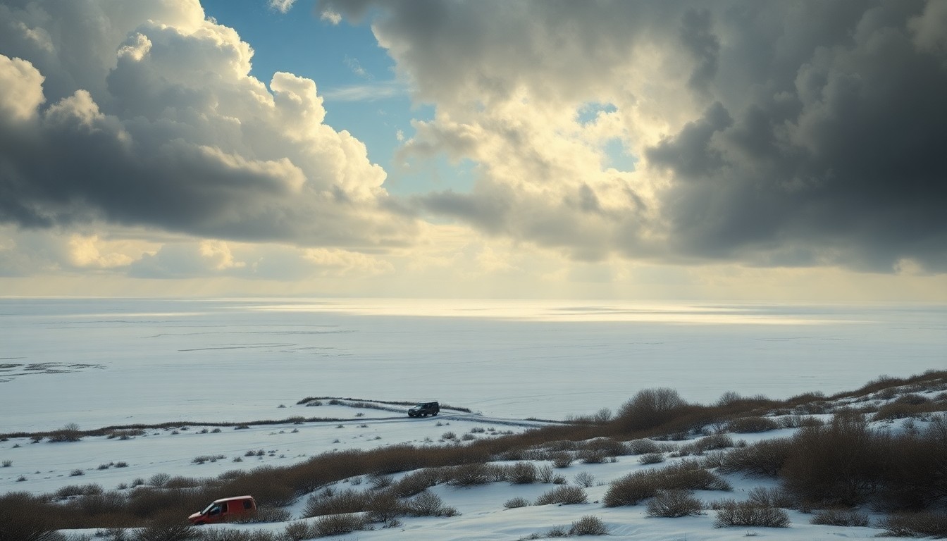
Slick Roads Expected on I-40 in Flagstaff Through Friday Evening
Up to 2 inches of snow possible above 6,500 feet, creating hazardous travel conditions
Feb. 13, 2026 at 11:39pm
Got story updates? Submit your updates here. ›
Scattered to numerous rain and snow showers will continue across northern Arizona through mid to late Friday evening, with up to 2 inches of snow possible above 6,500 feet around Flagstaff. Roadways including Interstate 40, Interstate 17, US-180 and State Route 89 could see wet pavement and slushy accumulation, especially during heavier bursts of snow.
Why it matters
Flagstaff is a popular destination for winter recreation and travel, and the slick road conditions could impact both commuters and visitors to the area. The National Weather Service is warning drivers to use caution, especially at higher elevations, to avoid accidents and delays.
The details
According to the National Weather Service in Flagstaff, snow levels are expected to range between 6,500 and 7,000 feet. Snowfall amounts will range from a trace to 2 inches, with locally higher totals in the most persistent showers at higher elevations. Officials warn that untreated surfaces may become slick as temperatures cool later this evening.
- The snow showers are expected to continue through mid to late Friday evening.
- Lingering slick spots may be present on roads early Saturday morning before conditions improve.
The players
National Weather Service in Flagstaff
The local office of the National Weather Service that issued the weather alert and forecast for the Flagstaff area.
What’s next
Travelers, including students and weekend visitors to the high country, should allow extra time and monitor updated forecasts before heading out.
The takeaway
Drivers in the Flagstaff area should exercise caution and slow down when traveling on mountain roads through Friday evening due to the potential for slick conditions from the expected snow showers.
Flagstaff top stories

Flagstaff events

Apr. 7, 2026
Evan Honer w/ Timmy Skelly

Apr. 11, 2026
Flagstaff Mountain Film Festival - Saturday